


ONE OPERATION.
ONE SHARED PICTURE
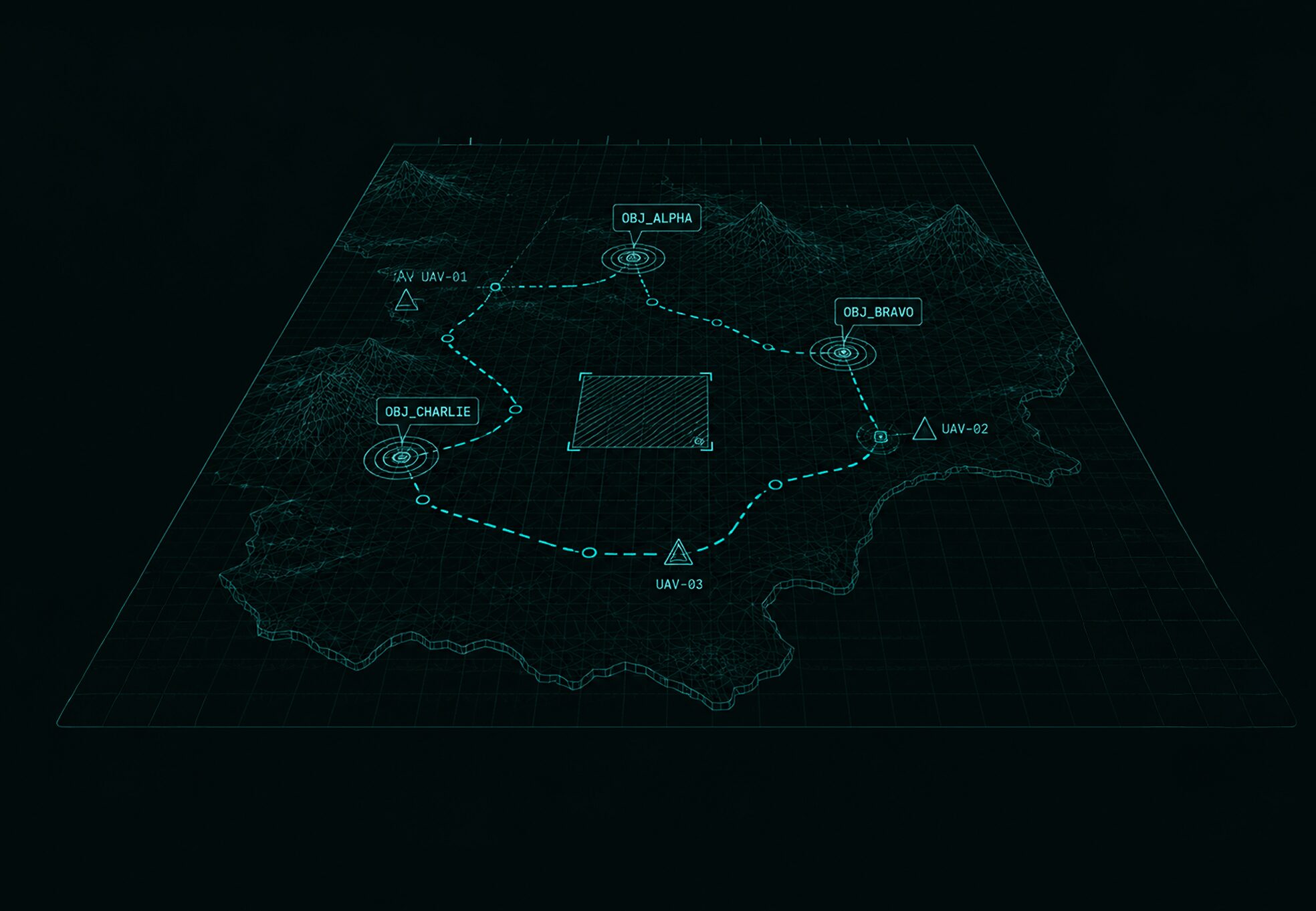
MissionAR creates a shared digital operational picture where teams can plan, coordinate, and make informed decisions together using real terrain, live data, and mission-relevant information.
MissionAR brings terrain, operational data and planning tools into a single digital environment, helping teams turn information into coordinated action.
PLAN TOGETHER
BEFORE EXECUTION
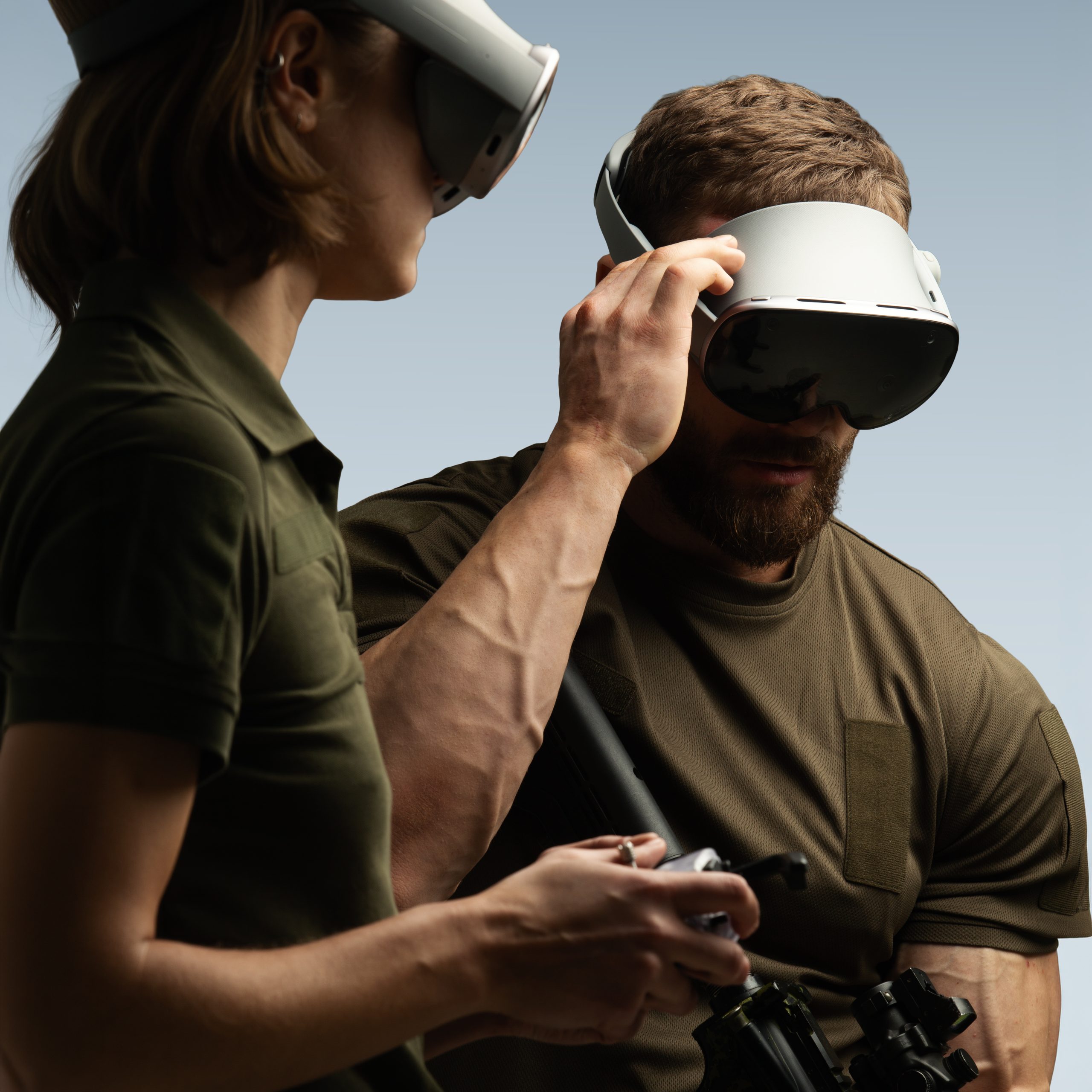
Walk through the mission on real terrain, review operational data, evaluate options, and align teams before entering the field.
Core
capabilities
-
Common Operational Picture
Build a shared understanding of the operational environment across all participants.
-
Geospatial Intelligence
Visualize terrain, routes, infrastructure, and operational areas using 2D and 3D map data.
-
Mission Planning
Develop, review, and refine operational plans collaboratively.
-
Data Fusion
Combine information from multiple sources into a single environment.
-
Multi-User Collaboration
Support distributed planning and coordination across units and locations.
-
Decision Support
Evaluate options and support operational decision-making before execution.
INTEGRATIONS — CONNECTED TO
YOUR EXISTING SYSTEMS
-
Battlefield Management Systems
-
ArcGIS
-
Drone Imagery
-
Satellite Data
-
LiDAR
-
Sensor Feeds
-
External Geospatial Services
DESIGNED FOR OPERATIONAL
DECISION MAKING
Whether you’re exploring technology partnerships, training systems, or operational solutions — we’d love to connect.
Get in Touch